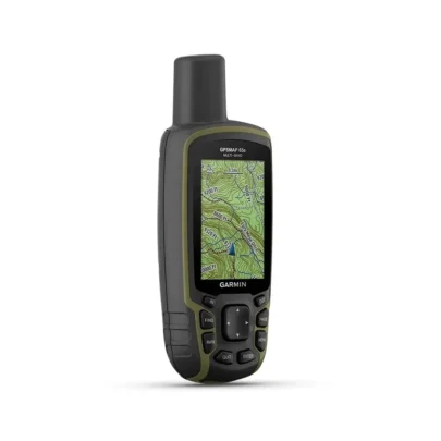
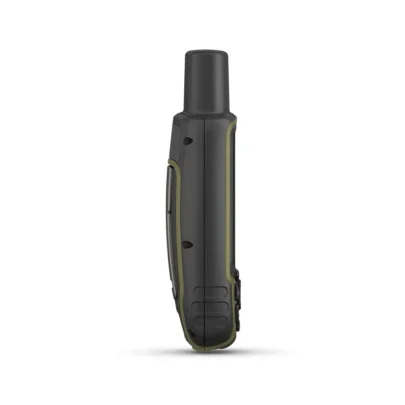
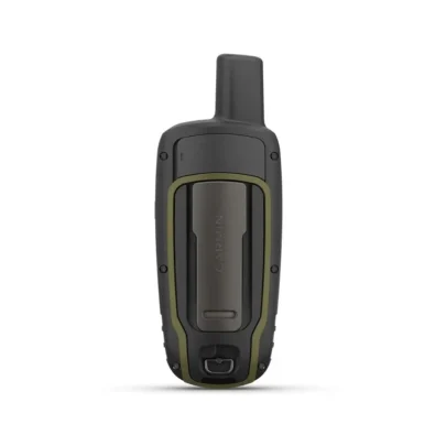
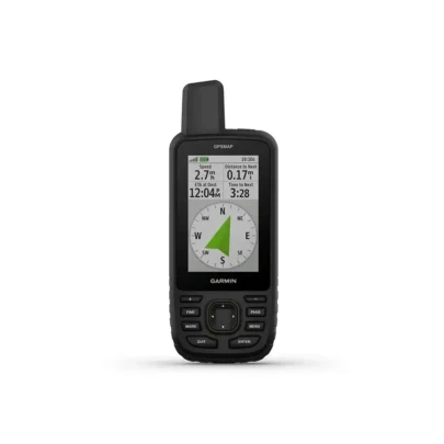
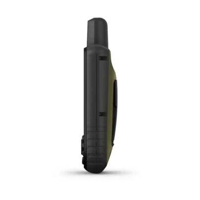
Garmin GPSMAP 65s
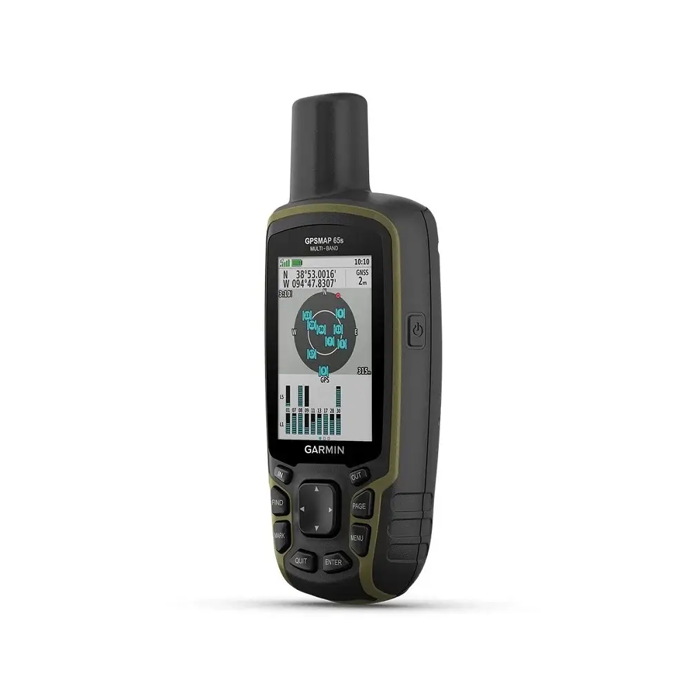
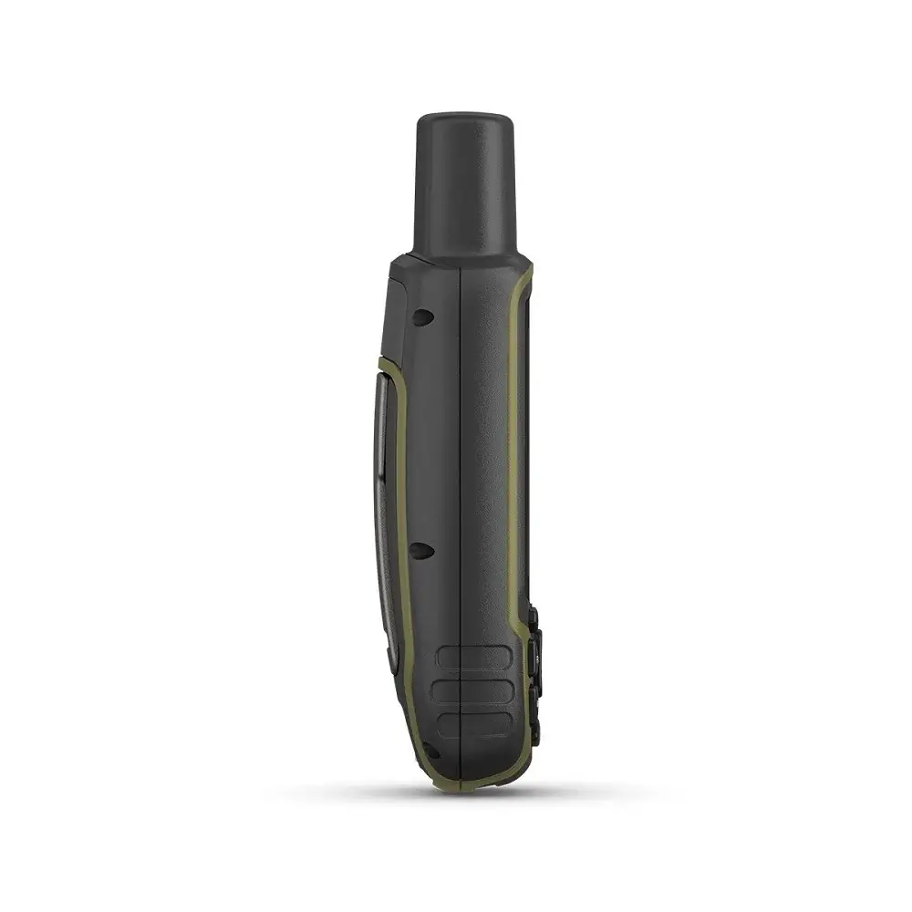
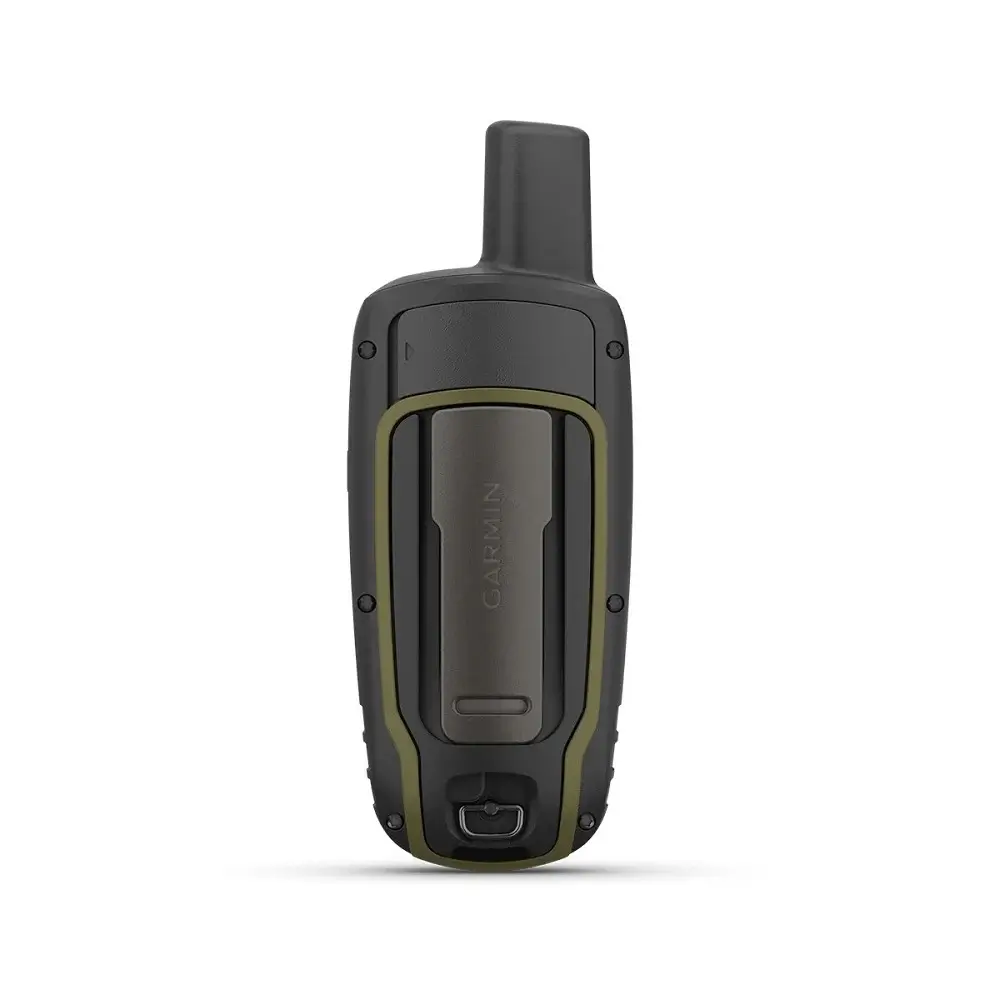
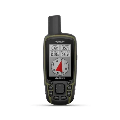
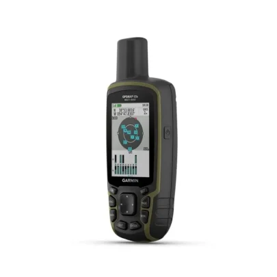
Garmin GPSMAP 65s adalah alat navigasi genggam dengan teknologi multi band GPS yang memiliki tingkat akurasi posisi yang tinggi bahkan di area seperti hutan lebat atau perkotaan. Dilengkapi dengan berbagai sensor, GPSMAP 65s ini dapat membantu anda memantau kondisi sekitar termasuk ketinggian, tekanan udara dan suhu.
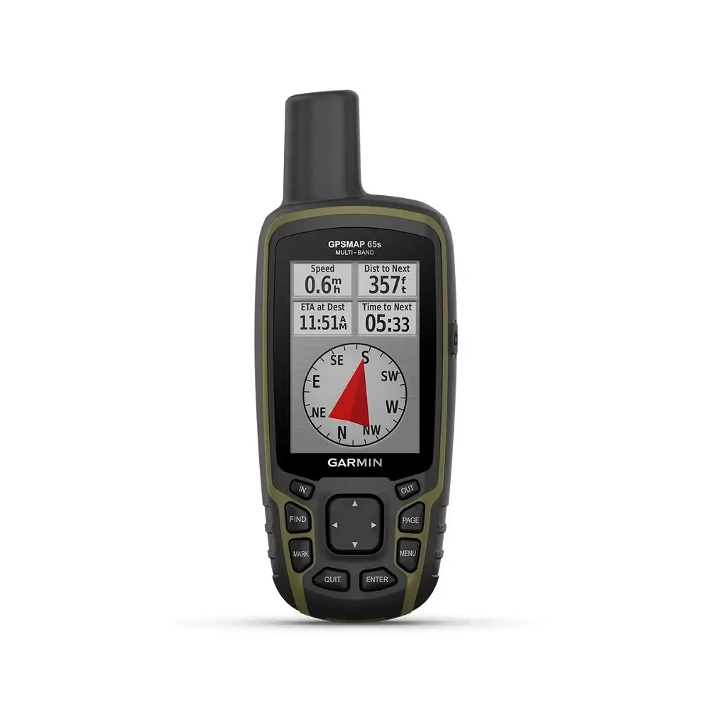
Fitur-Fitur Unggulan Garmin GPSMAP 65s
- Waterproof dengan standar IPX7 yang tahan air bahkan dapat terendam dalam air dengan kedalaman 1 meter. Selain itu, alat navigasi ini aman digunakan saat hujan atau di lokasi yang lembab.
- Baterai berkapasitas besar yang dapat digunakan secara terus-menerus hingga 16 jam.
- GPSMAP 65s dilengkapi dengan memori internal sebesar 16 GB.
- GPS tracker Garmin ini dilengkapi dengan port USB untuk dapat dihubungkan ke komputer. Selain itu, GPS handheld ini mendukung port NMEA 0183 untuk terhubung dengan alat navigasi kapal.
- Anda dapat menambah kapasitas penyimpanan GPS genggam ini dengan menggunakan kartu microSD hingga 32 GB.
Spesifikasi
| General | |
| Lens Material | Chemically strengthened glass |
| Dimension | 2.4″ x 6.3″ x 1.4″ (6.1 x 16.0 x 3.6 cm) |
| Weight | 7.7 oz (217 g) with batteries |
| Water rating | IPX7 |
| Display Type | transflective, 65K color TFT |
| Display Size | 1.43″ x 2.15″ (3.6 x 5.5 cm); 2.6″ diag (6.6 cm) |
| Display resolution | 160 x 240 pixels |
| Battery type | 2 AA batteries (not included); NiMH or Lithium recommended |
| Battery life | 16 hours |
| Memory/History | 16 GB (user space varies based on included mapping) |
| Interface | high speed mini USB and NMEA 0183 compatible |
| Maps & Memory | |
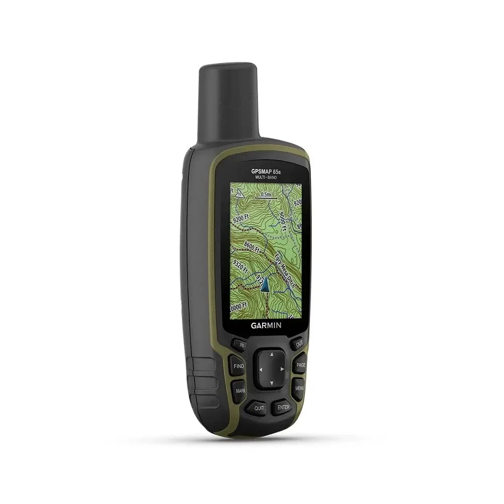
| Preloaded maps | Yes (TopoActive; routable) |
| Ability to add maps | ✔ |
| Basemap | ✔ |
| Automatic routing (turn by turn routing on roads) for outdoor activities | ✔ |
| Map segments | 3000 |
| Includes detailed hydrographic features (coastlines, lake/river shorelines, wetlands and perennial and seasonal streams) | ✔ |
| Includes searchable points of interests (parks, campgrounds, scenic lookouts and picnic sites) | ✔ |
| Displays national, state and local parks, forests, and wilderness areas | ✔ |
| External memory storage | Yes (32 GB max microSD™ card) |
| Waypoints/favorites/locations | 5000 |
| Tracks | 200 |
| Navigation Track Log | 10000 points, 200 saved tracks |
| Navigation Routes | 200, 250 points per route; 50 points auto routing |
| Sensors | |
| GPS | ✔ |
| GLONASS | ✔ |
| Galileo | ✔ |
| QZSS | ✔ |
| Barometric altimeter | ✔ |
| Compass | Yes (tilt compensated 3-axis) |
| High sensitivity receiver | ✔ |
| GPS compass (while moving) | ✔ |
| Multi-band frequency support | ✔ |
| Daily Smart Features | |
| Smart notifications on handheld | ✔ |
| VIRB® Remote | ✔ |
| Pairs with Garmin Connect™ Mobile | ✔ |
| Outdoor Recreation | |
| Point-to-point navigation | ✔ |
| Area calculation | ✔ |
| Fish forecast | ✔ |
| Sun and moon information | ✔ |
| Geocaching-friendly | Yes (Paperless) |
| Custom maps compatible | Yes (500 custom map tiles) |
| Picture viewer | ✔ |
| Outdoor Applications | |
| Compatible with Garmin Explore™ app | ✔ |
| Garmin Explore website compatible | ✔ |
| Connections | |
| Connections Wireless Connectivity | Yes (BLUETOOTH®, ANT+®) |

Reviews
There are no reviews yet.