Garmin Etrex 22X
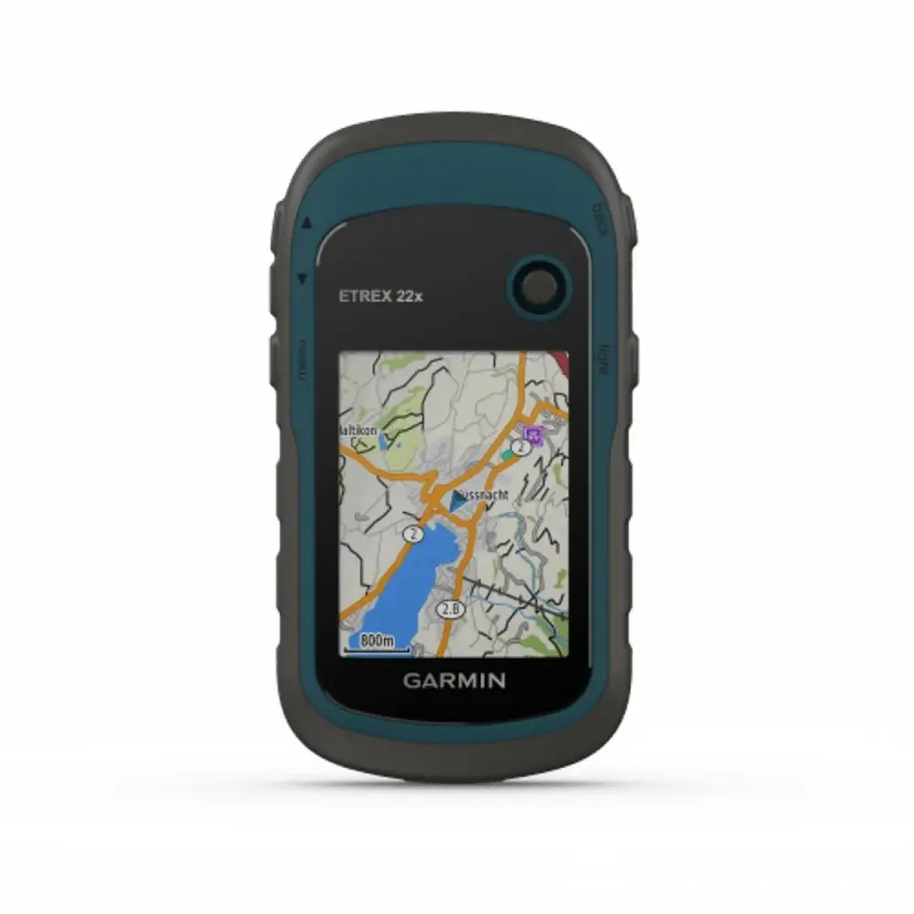
GPS handheld Garmin Etrex 22X menghadirkan layar berwarna yang mudah dibaca bahkan di bawah sinar matahari langsung. Alat navigasi ini dilengkapi dengan fitur navigasi canggih, seperti: pembuatan rute, pencarian titik referensi dan perekaman jejak.
Fitur-Fitur Garmin Etrex 22X
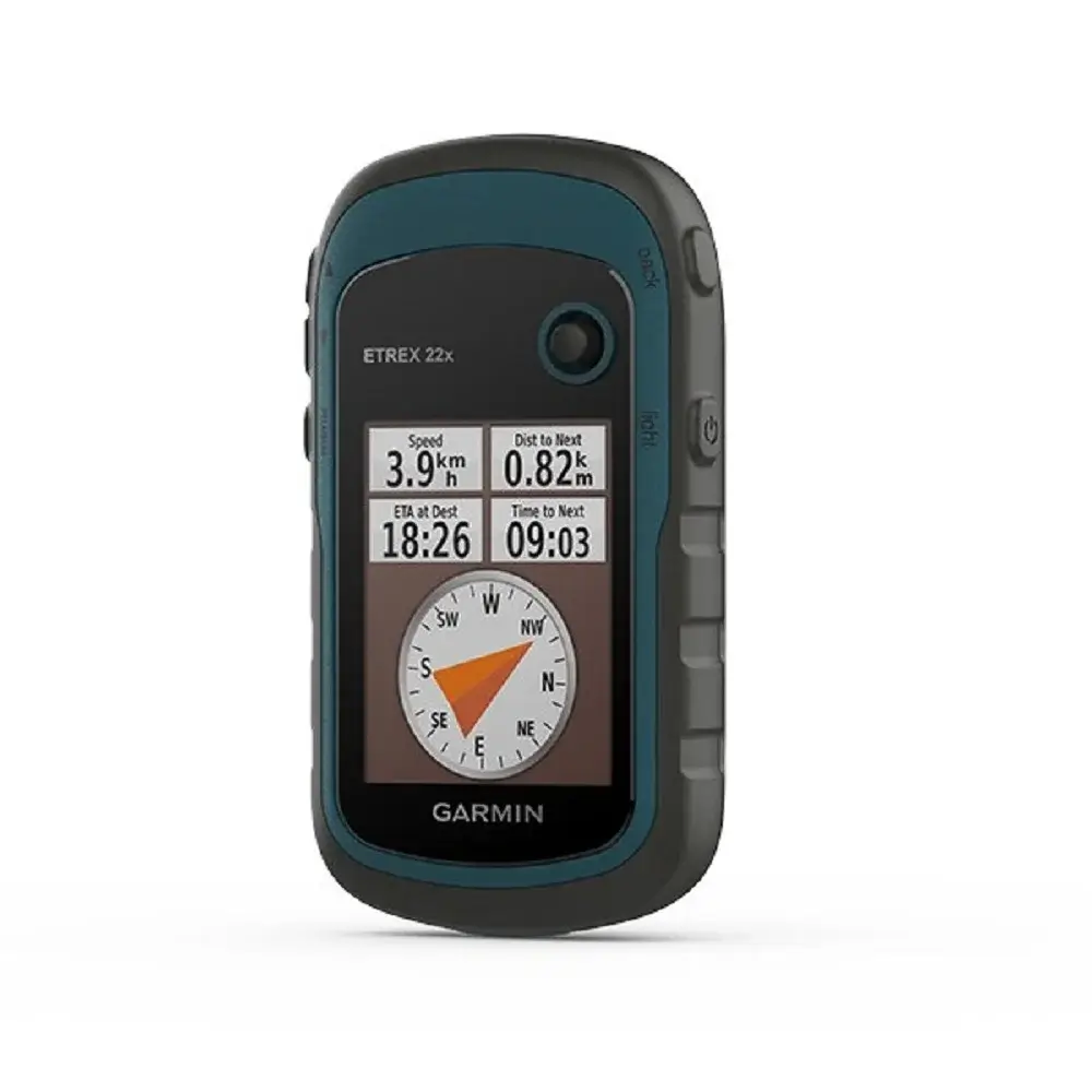
- GPS Garmin ini dilengkapi layar berwarna 2,2 inci dengan resolusi 240 x 320 pixel.
- GPS tracker ini juga dilengkapi dengan peta TopoActive yang sudah terpasang.
- Etrex 22X ini juga mendukung sistem satelit GPS dan GLONASS untuk melacak posisi lebih akurat terutama di daerah yang sulit dijangkau, seperti: hutan dan lembah.
- Memori internal sebesar 8 GB dan slot microSD untuk menyimpan berbagai data.
- Dengan menggunakan 2 baterai AA (alkaline, Li-ion dan NiMH), GPS tracker ini dapat digunakan hingga 25 jam dalam mode GPS.
- Dilengkapi dengan rating IPX7 yang dapat bertahan di dalam air hingga kedalaman 1 meter selama 30 menit. GPS ini juga dapat digunakan saat hujan deras atau di lokasi yang lembab.
Spesifikasi
| General | |
| Lens Material | Acrylic |
| Dimension | 2.1″ x 4.0″ x 1.3″ (5.4 x 10.3 x 3.3 cm) |
| Weight | 5 oz (141.7 g) with batteries |
| Water rating | IPX7 |
| Display Type | 2.2″ transflective, 65K color TFT |
| Display Size | 1.4″ x 1.7″ (3.5 x 4.4 cm); 2.2″ diag (5.6 cm) |
| Display resolution | 240 x 320 pixels |
| Battery type | 2 AA batteries (not included); NiMH or Lithium recommended |
| Battery life | 25 hours |
| Memory/History | 8 GB |
| Interface | mini USB |
| Maps & Memory | |
| Preloaded maps | Yes (TopoActive; routable) |
| Ability to add maps | Yes (via microSD card) |
| Basemap | ✔ |
| Automatic routing (turn by turn routing on roads) for outdoor activities | ✔ |
| Map segments | 3000 |
| Includes detailed hydrographic features (coastlines, lake/river shorelines, wetlands and perennial and seasonal streams) | ✔ |
| Includes searchable points of interests (parks, campgrounds, scenic lookouts and picnic sites) | ✔ |
| Displays national, state and local parks, forests, and wilderness areas | ✔ |
| External memory storage | Yes (32 GB max microSD™ card) |
| Waypoints/favorites/locations | 2000 |
| Tracks | 200 |
| Navigation Track Log | 10000 points, 200 saved tracks |
| Navigation Routes | 200 routes, 250 points per route; 50 points auto routing |
| Sensors | ✔ |
| GPS | ✔ |
| GLONASS | ✔ |
| High sensitivity receiver | ✔ |
| GPS compass (while moving) | ✔ |
| Outdoor Recreation | |
| Point-to-point navigation | ✔ |
| Area calculation | ✔ |
| Fish forecast | ✔ |
| Sun and moon information | ✔ |
| Geocaching-friendly | Yes (Paperless) |
| Custom maps compatible | Yes (100 custom map tiles) |
| Picture viewer | ✔ |


Reviews
There are no reviews yet.